Great Dour
Recce Hikes and a Solo Overnight Camp
Day 1 – Accidently Finding it
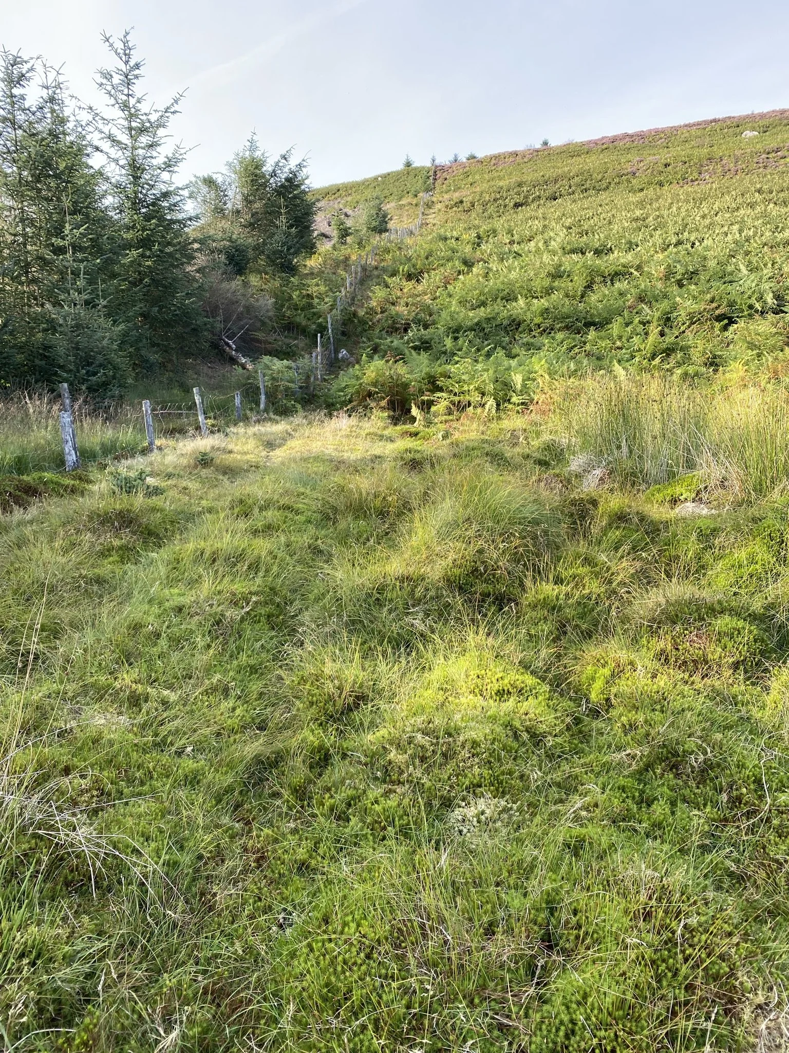
I ended up on the top of this hill purely by chance. Back in August, I went for a recce hike up one of the forest tracks in the Redesdale area of Kielder. Basically, looking for any photography opportunities and possible camping spots for future use. Once I got about ½ hour into the hike, I was looking interestingly at the crags and hill, got one of those ‘why not’ ideas while I was there. I carried on along the track to the West side of the hill until I got to the MOD fence line. Then headed up the hill. At this point I need to stress that I should start remembering that I am not 21 again or in the army. Carrying around 12Kg (which is what I usually carry in my day pack – trying to get fit again), up that bloody hill certainly made me remember my age – 40 something 😊 this part of the hill must be around a 45-degree angle of ascent! The ferns were up to my shoulders and thick around the base, with soggy, boggy ground in places. I must admit I did stop a few times to get my breath back and question myself, WTF! should have done that before I tried it.
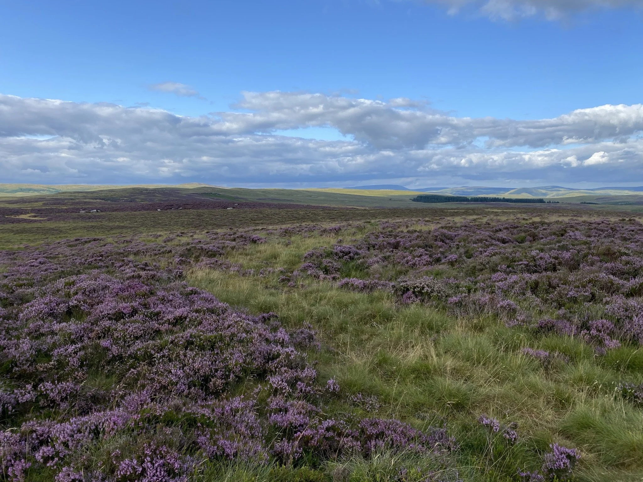
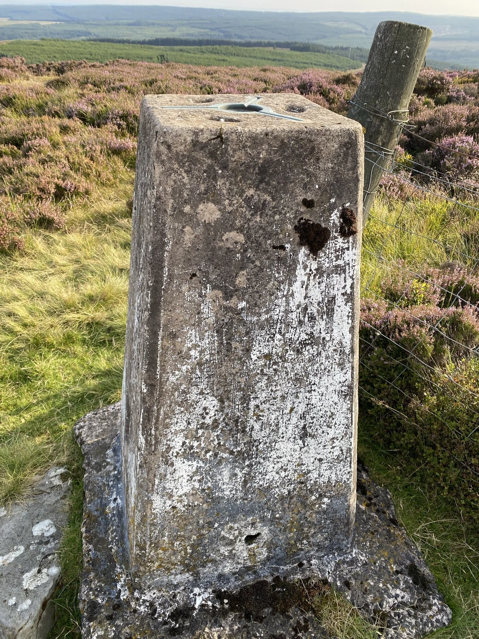
Using the fence to drag myself up in certain areas, (like a shipwrecked sailor clambering up a scramble net), the view behind me started to unfold, absolutely fantastic, with the military ground in front of Scottish hills in the distance. About a year and a half later, well it felt that long – I got to the top, leapt over the fence……….. hang on, who am I trying to kid… ok, stumbled, over the fence into the MOD part of the hill. What a lovely place, the purple and brown of the moor grass and heather was quite bright in the afternoon sun, (by this time I had lost about 2 stone in sweat). There’s a trig point at the top at around 415m altitude, with one of those MOD range warning signs next to it.
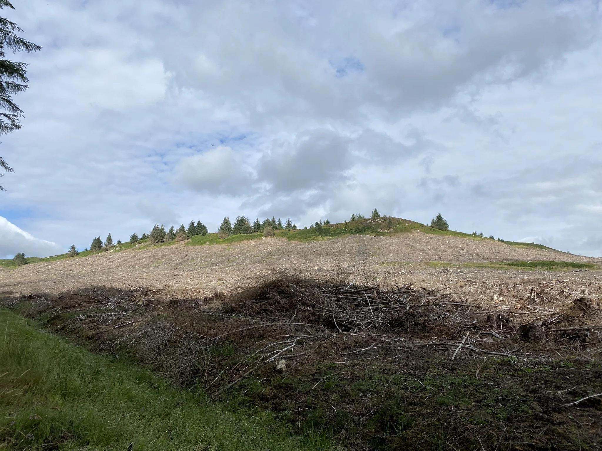
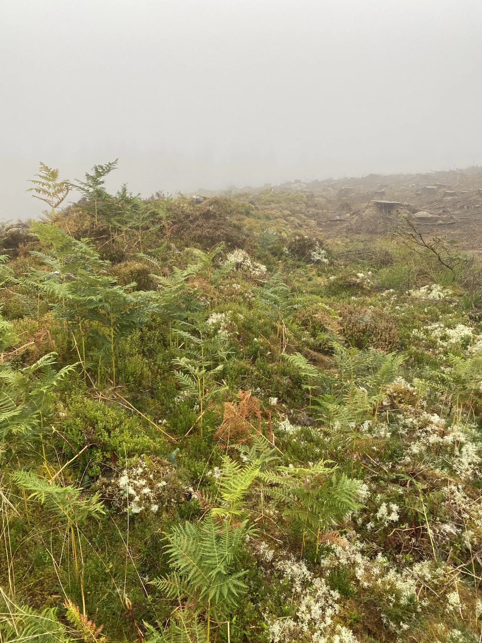
I spent some time on the hill being nosey, then seen a bit of an easier way back down to the South-West, first part was fine although a bit steep in places, but once over the fence and back into forestry land it was that apocalyptic scene you often see after they’ve harvested the trees. A bit like a scene from a World War One battlefield! A pain in the arse trying to walk over that stuff with hidden holes covered in dead wood, almost like intentional traps!
Got down to one of the forest tracks and followed it back to the track I had headed up in the first place. Knackered and aching but I really enjoyed it. But now on my to do list was an easier route up for next time.
Day 2 – Recce Hike 2
A few weeks later, and after some scrutiny of the maps and satellite imagery on the Ordinance Survey pages I continued on my quest to find a bit of an easier way up I parked in a layby off the A68 and followed a track part of the way over the MOD land.
Just a note here by the way, check on the government website - (link below) - for information & firing times to see if the Army are blowing anything up, and look for the red flags. There is an information leaflet available (link below) that you really should read before using MOD land, such as don’t touch or pick anything up just in case it goes bang!
This track went from the road heading NNE up the gentle first slopes of the hill. It was a pleasant hike, although it got a bit steeper towards the end (incidentally where I had descended the time before).
Again, I just took in the views, got a few photos, and cunningly planned my next mission here.
Day 3 – The Problem with Summit Camping
(well, actually day 3 ½ tried this a couple of weeks earlier but ran out of time and the weather was crap).
The problem with summit camping….. it’s water! Or a lack of it unless it’s pissing down of course. I knew of 2 tarns courtesy OS Maps not that far from the trig but hadn’t yet been there to see if they were useable for getting drinking water. So, in my infinite wisdom, did a day out carrying about 5ltrs of water to leave near the peak of the hill. Day pack now at about 15Kg, even though I took some stuff out the water and the drone being added pushed it up a bit, never mind trying to get fit again 😊, I took a gradual easier approach via another forest track. Amateur! A real man would have done it bare foot up the crag face……. Hmmmm.
Interestingly this route took me to a location known as ‘Long Cairn’. I did a bit of Googling, and it seems to be a burial ground of sorts from the Neolithic period which means it is between 5 and 11 thousand years old (correct me if I’m wrong of course). Fascinating when you’re standing next to this thinking about what had gone on here all those years ago. It had been excavated apparently a good few year back by archaeologists, but they never found much apparently. Have some respect for this as it is a burial ground, don’t climb on the rocks etc.
Day 4 The overnighter
As previously described, having identified the two tarns on OS to the NNE of the trig point, I decided to do a hike from the Northeast of the plateau taking me in a route to pass them to the trig point. I will take this opportunity to point out that I had already decided that the best location for a wild camp would be about 500m or so Northwest of the trig point, any closer to the South end and your torch lights are clearly visible at night from the road and the forest track which has works going on. At least further North near or around Great Dour it’s more hidden away and more secluded.
Anyway, I had my youngest daughter follow me up to the forest drive road, where I left my truck, then she drove me along Cottonshope Road, a military road to a parking place after turning right at the end where a white barrier is, here I kitted up and headed across the top moorland to my target, (wrong phrase really on a firing range). I had my daughter do this as I was coming back down the hill the next day a different way, the truck was closer this way.
I got to the area of the tarns, where one was simply a bog but the other around 10m in a rough diameter and usable for filtering water. Route about 5 ½ Km in total line of sight but a bit more if you’re like me and mess around a lot. The water was about half a meter from ground level so tied some paracord to my filter bag and used my hiking stick to get the water. Then headed up to the fence line that separates the military side from the FC side.
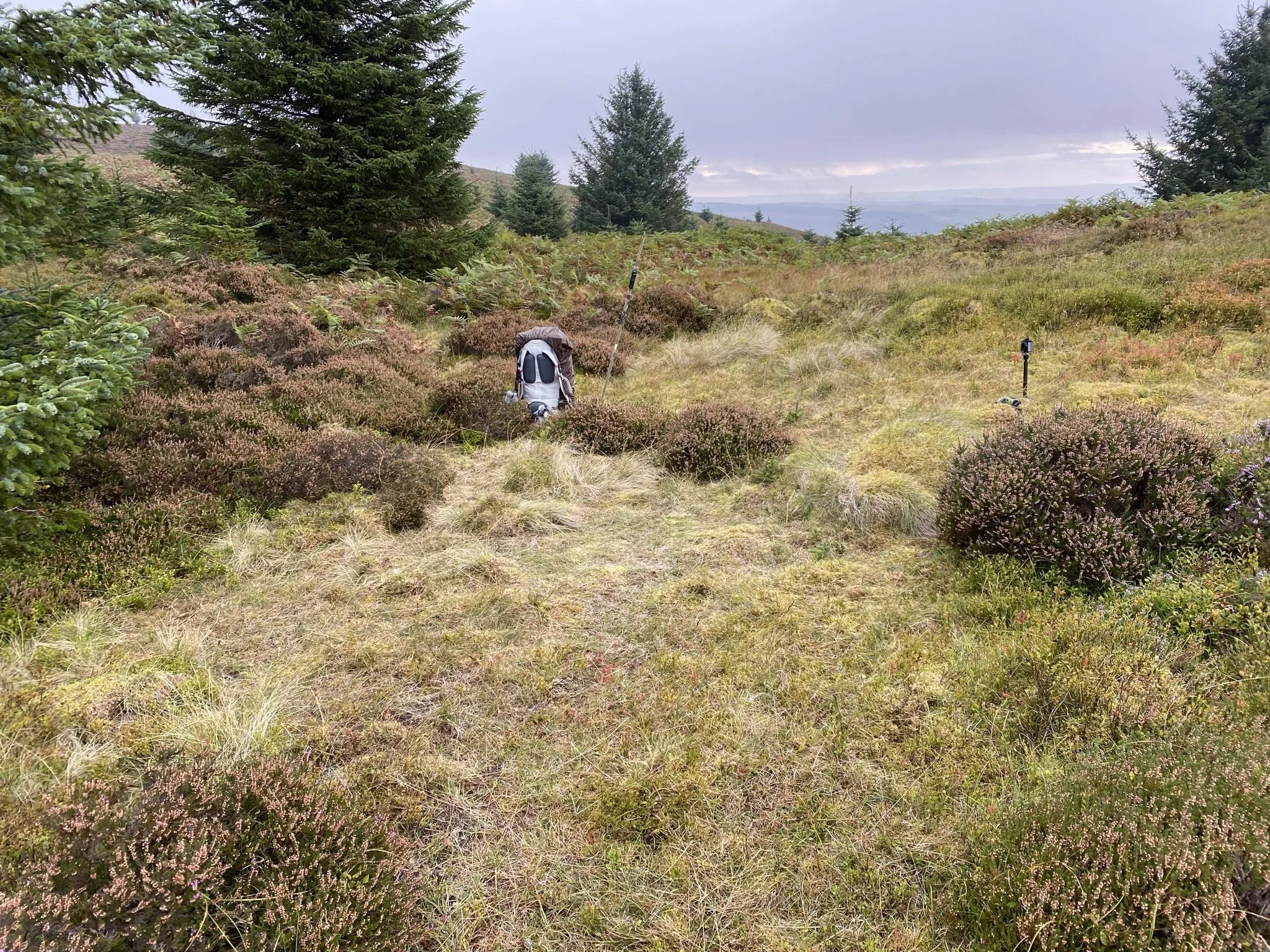
I got over the fence and got myself a nice little spot in a slight dip just behind the ridge of the West facing crag, notice ‘crag’ these are steep areas and often not sound under foot so if you do go walking anywhere near any crags or hill walking in general always take care, ‘you are responsible for you’. Good views East, North and West.
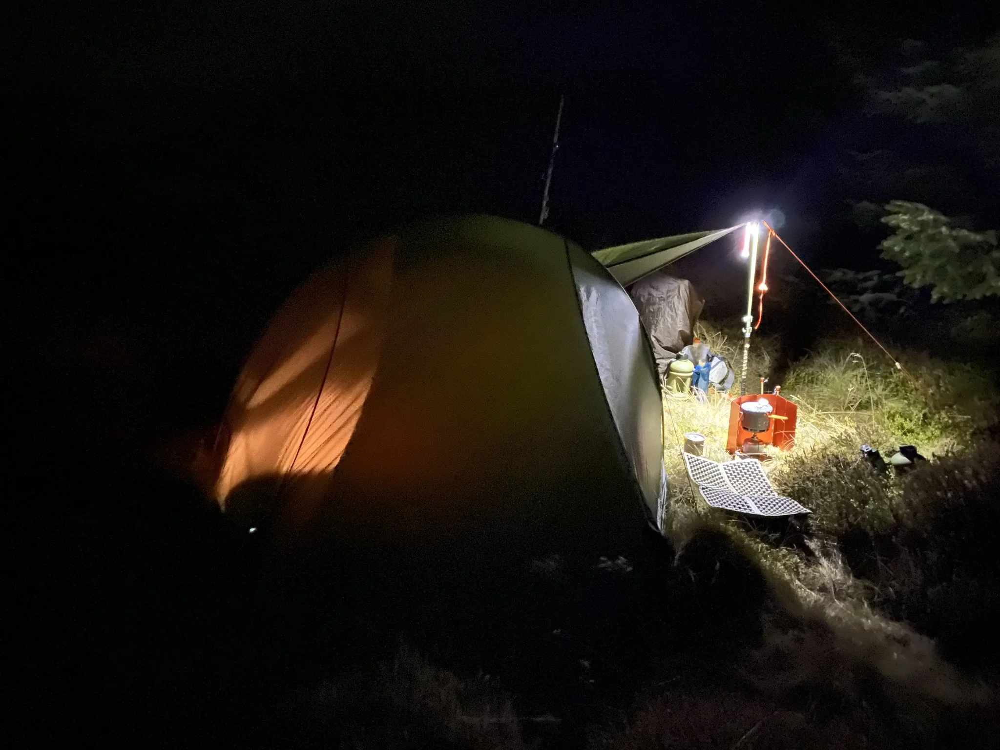
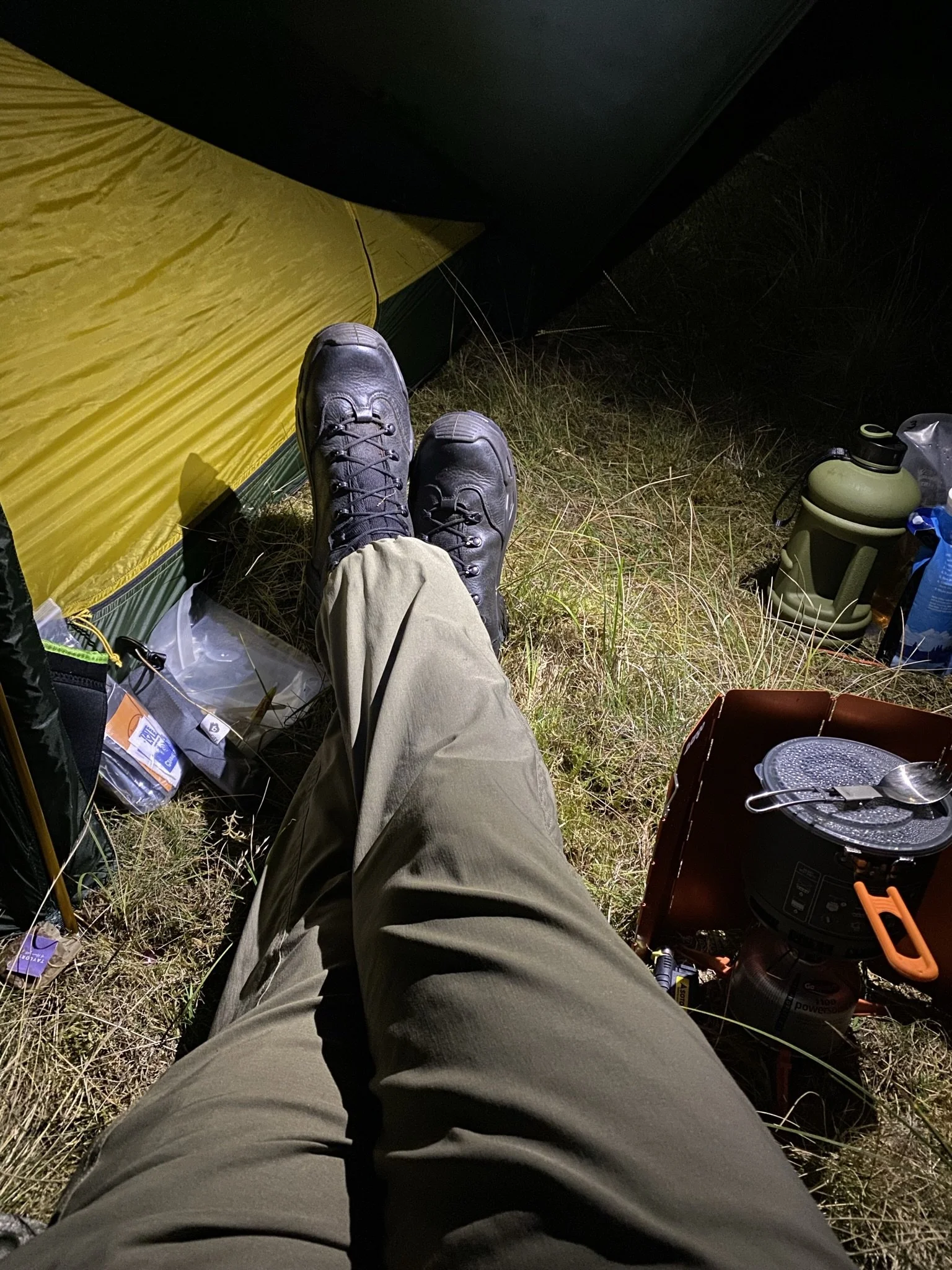
This was the first time I had used the Nordisk Telemark 2.2 LW, never even had a try out to see how it went up. It was fine, just like on YouTube, very easy indeed. Got my kit sorted and chilled. It was ok, not cold but over-cast so no star gazing. I had a couple of cheeky G & T’s while watching the sun go down. Not a spectacular sunset but, nevertheless nice.
Got some water on and did a pot noodle. Now here is one for you – I put the pot noodle contents into a milo food bag before I left, easier to store and no pot to bring back. Watch your fingers though it can get hot. Or you can use one of those neoprene food pouches you see for trekking food, to sit the milo bag in.
Second time with the Thermarest Quilt and sleeping pad, warm enough with temperatures at around 11 degrees C. The tent however is supposed to be a two-person tent, really, sorry but I disagree unless the person you’re sharing with is up-close and personal there is bugger all room in there for two. The vestibule area has enough space for one ruck sack and some cooking kit. I would suggest carrying a small tarp to provide some additional cover, especially if there are two of you. But nevertheless, a cracking tent. This is supposed to be 3 seasons although I would have thought that it could go into 4 seasons as long as the wind is tolerable, (there is a video on YouTube showing this tent in a wind tunnel test)
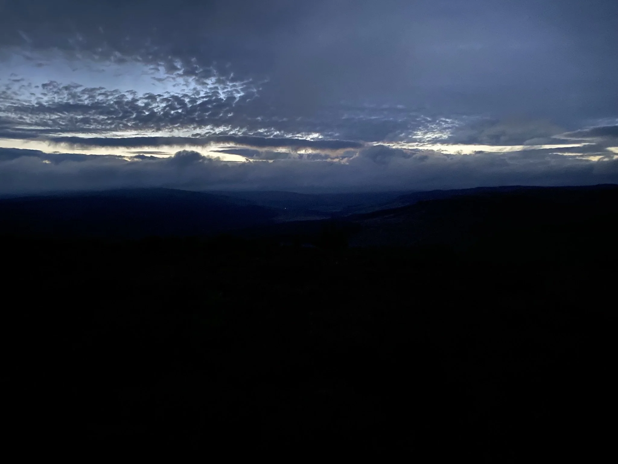
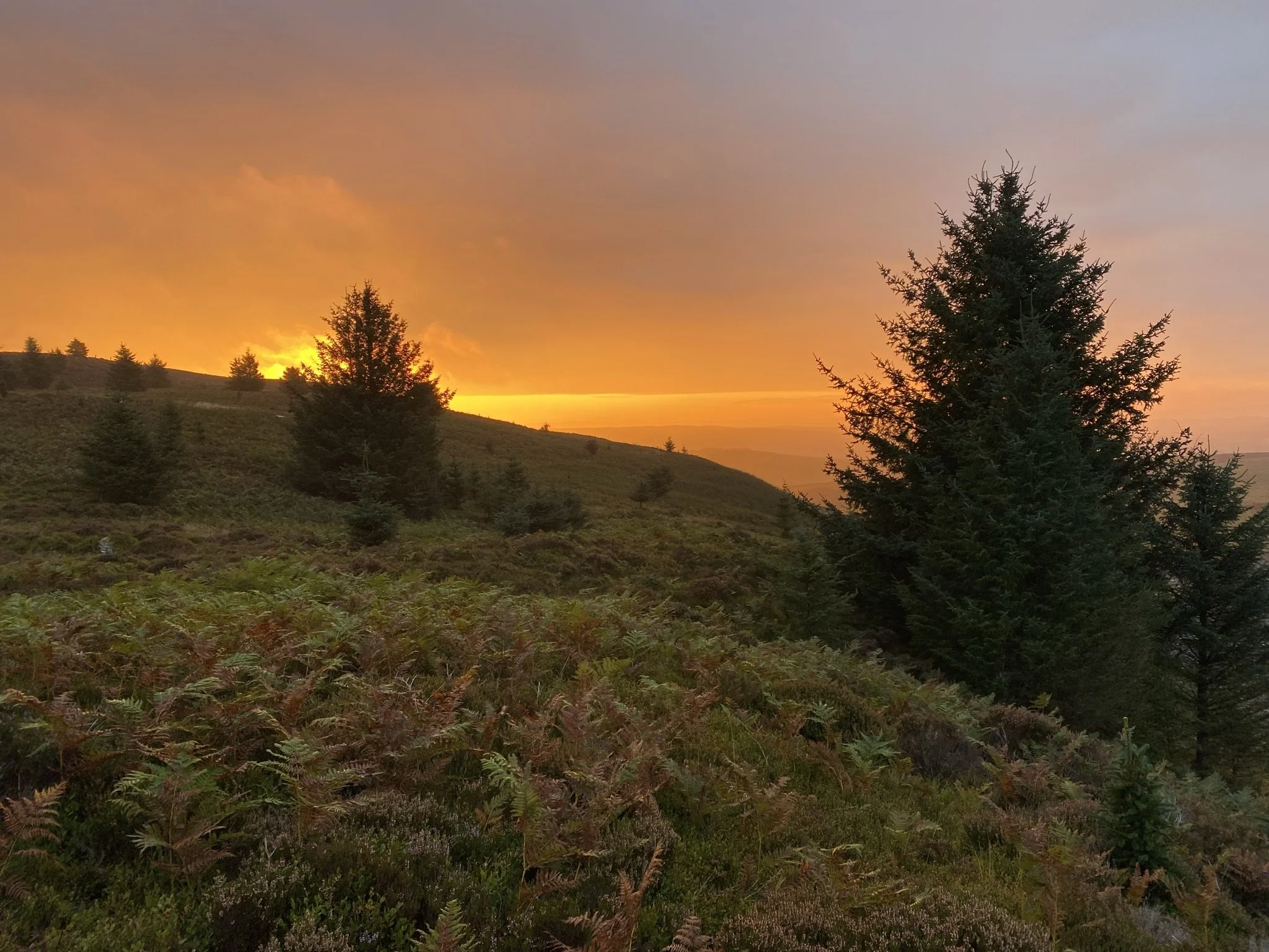
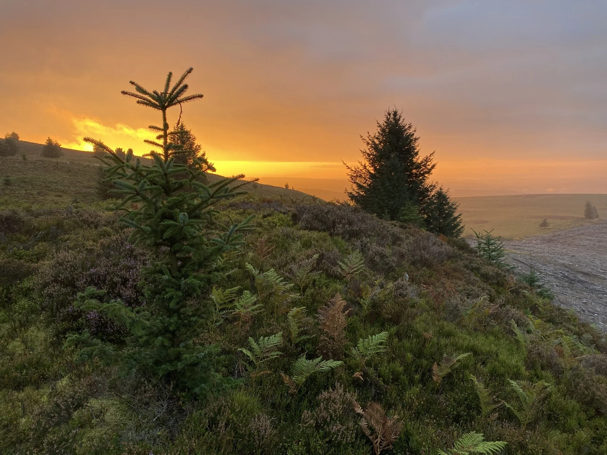
Woke up a few times during the night, as I always do then I got up with just enough time to capture a fantastic sunrise. Had a brew and a few photos later got my kit together to head back down. Came back down the same way as last time, nice and easy. Kit in the car then off to the ‘last café in England’ for a full English – as you do.
Summary:
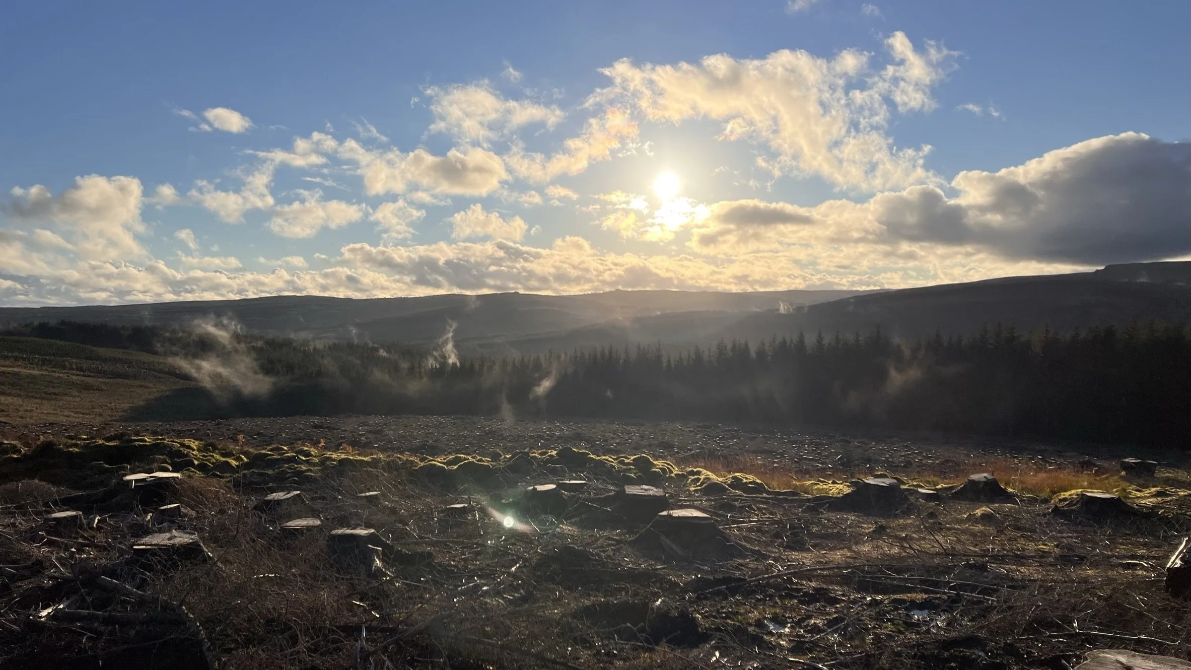
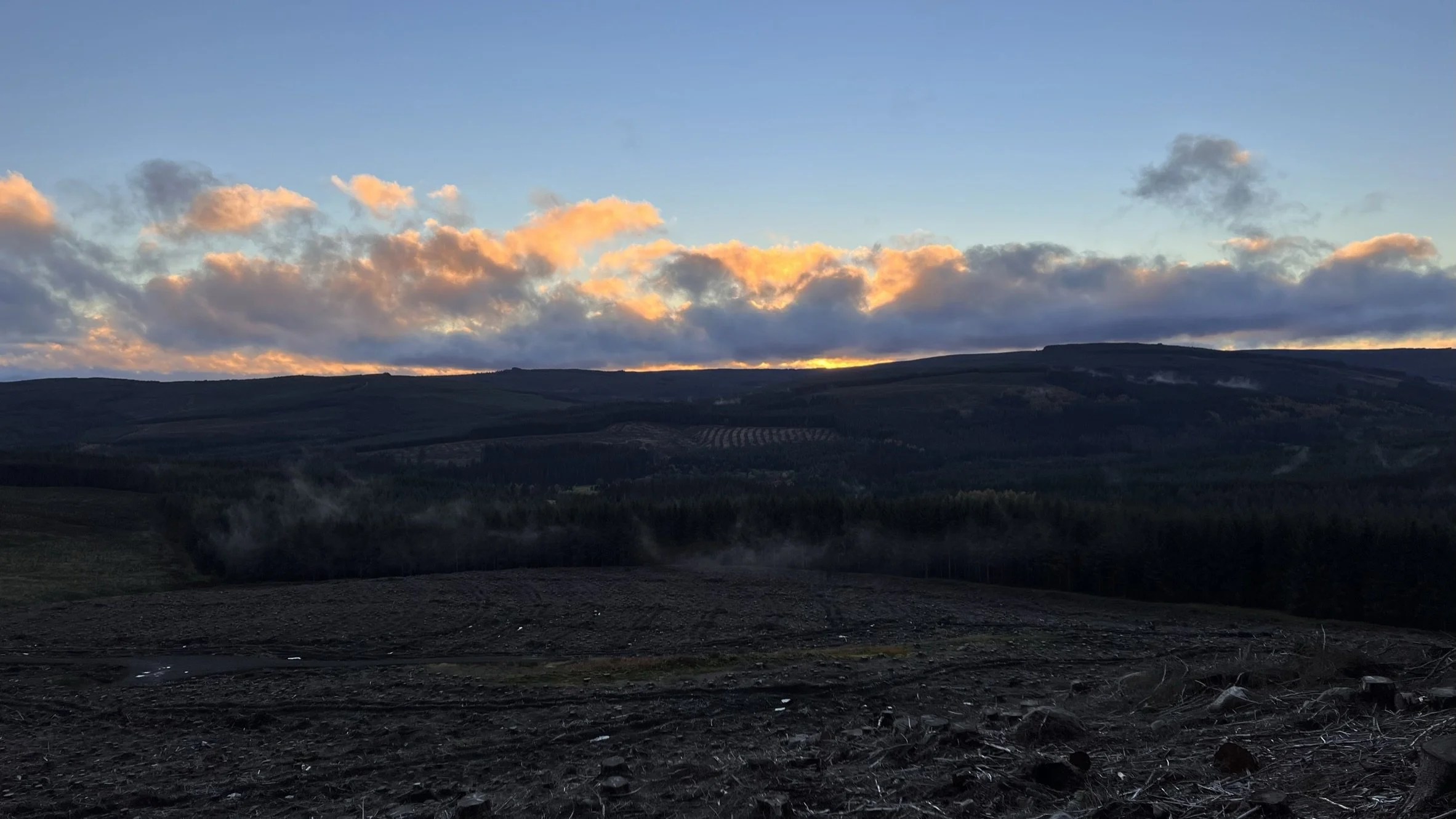
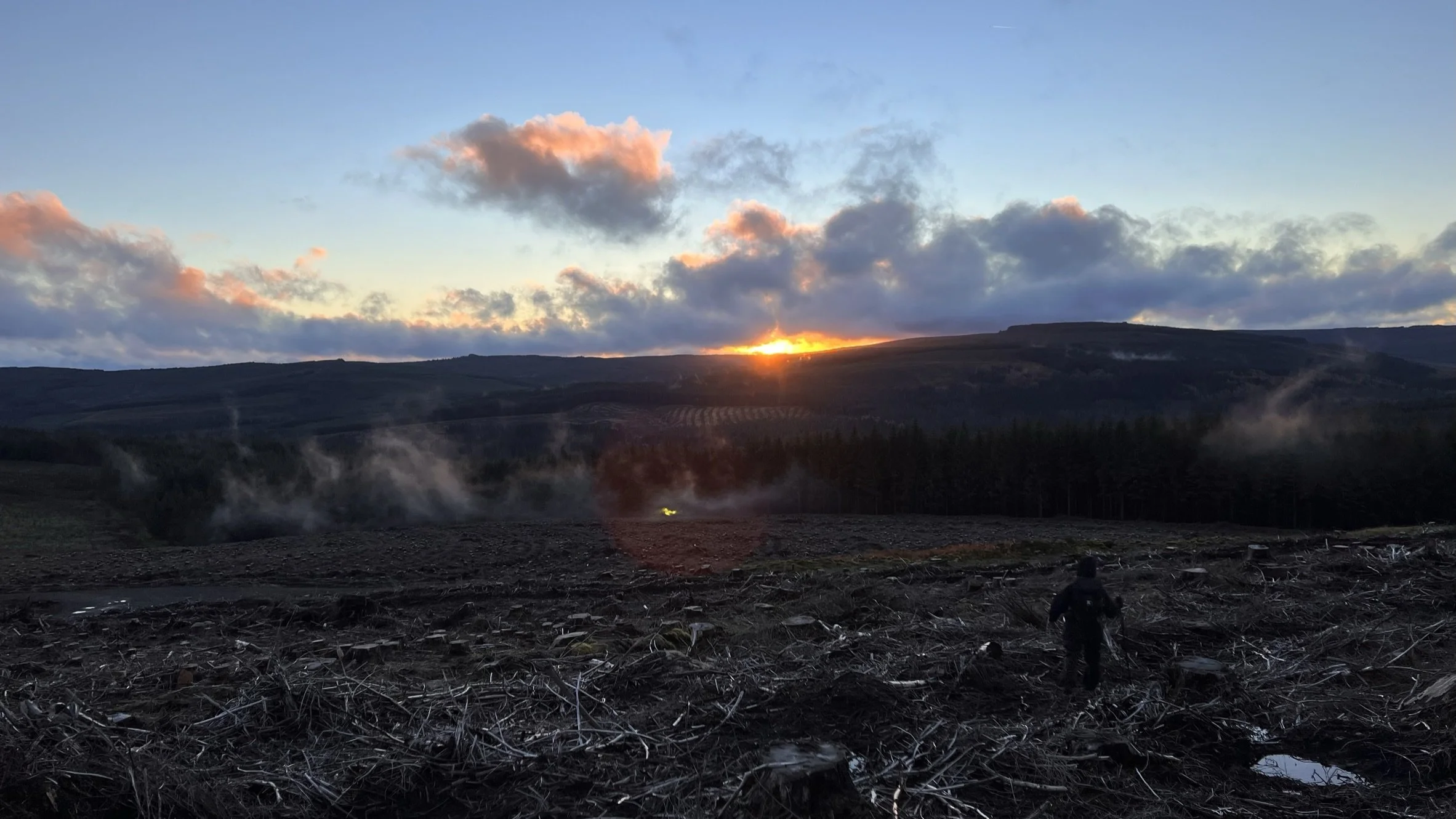
A nice hike, with some steep bits. Very dangerous crags so stay away from the edges, and a lovely view. The wind can get up coming from the Southwest, but further away from the Southern crag the better you are with some young pine trees breaking the wind. No rivers to cross with budding mermaid wanna be’s though unfortunately unlike the last one 😊. This is not a location for a regular wild camp, due to the military on one side and our friends the FC on the other, not to mention the possibility of torch light being seen from below, although it is a pleasant route for a day hike. Followed it up last week, end of October and got some good shots of the early sunset and mist, see below, Jan ‘little legs’ in the foreground 😊


